- Marking: blue band;
- Duration: 5 H – 5 H 30 min
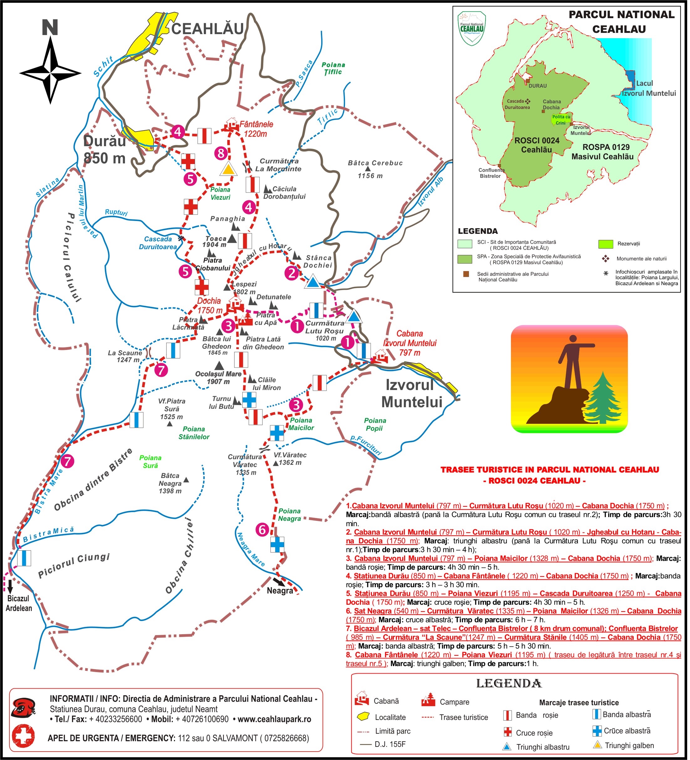
- The difference in level is 1225 m. The length of the track is 19.9 km. The difficulty level is medium.
- During winter time, it is NOT recommended to follow the portion between Stanilele Mici – Dochia Cabin
We know we are on the right path if we have discovered the information point of Ceahlau National Park Administration Office, as well as a trout farm, located at the intersection of two forest roads. Our direction? We go forward on the path between the information point and the trout farm for about 3 km, a slightly ascending road which carries us towards a clearing situated at the mouth of Cintelec (Lacu) river – on the right side, and on the left the mouth of Mangalaria River in Bistra Mare River. We are not alone in the clearing however, and are joined by the locals who have bought land there and built vacation houses.
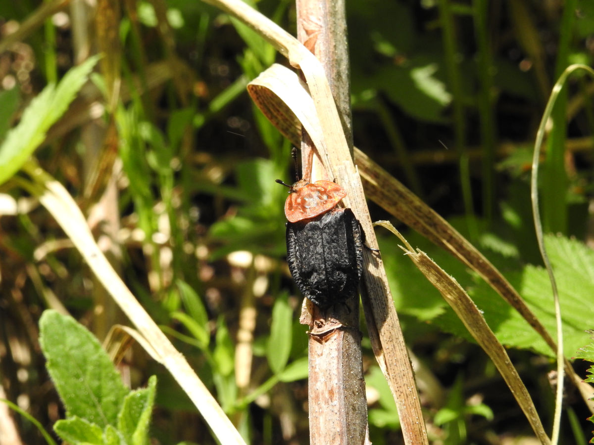
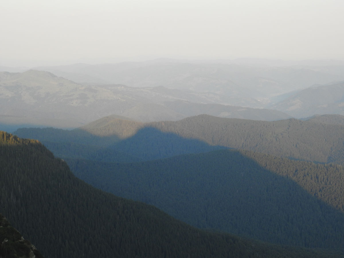
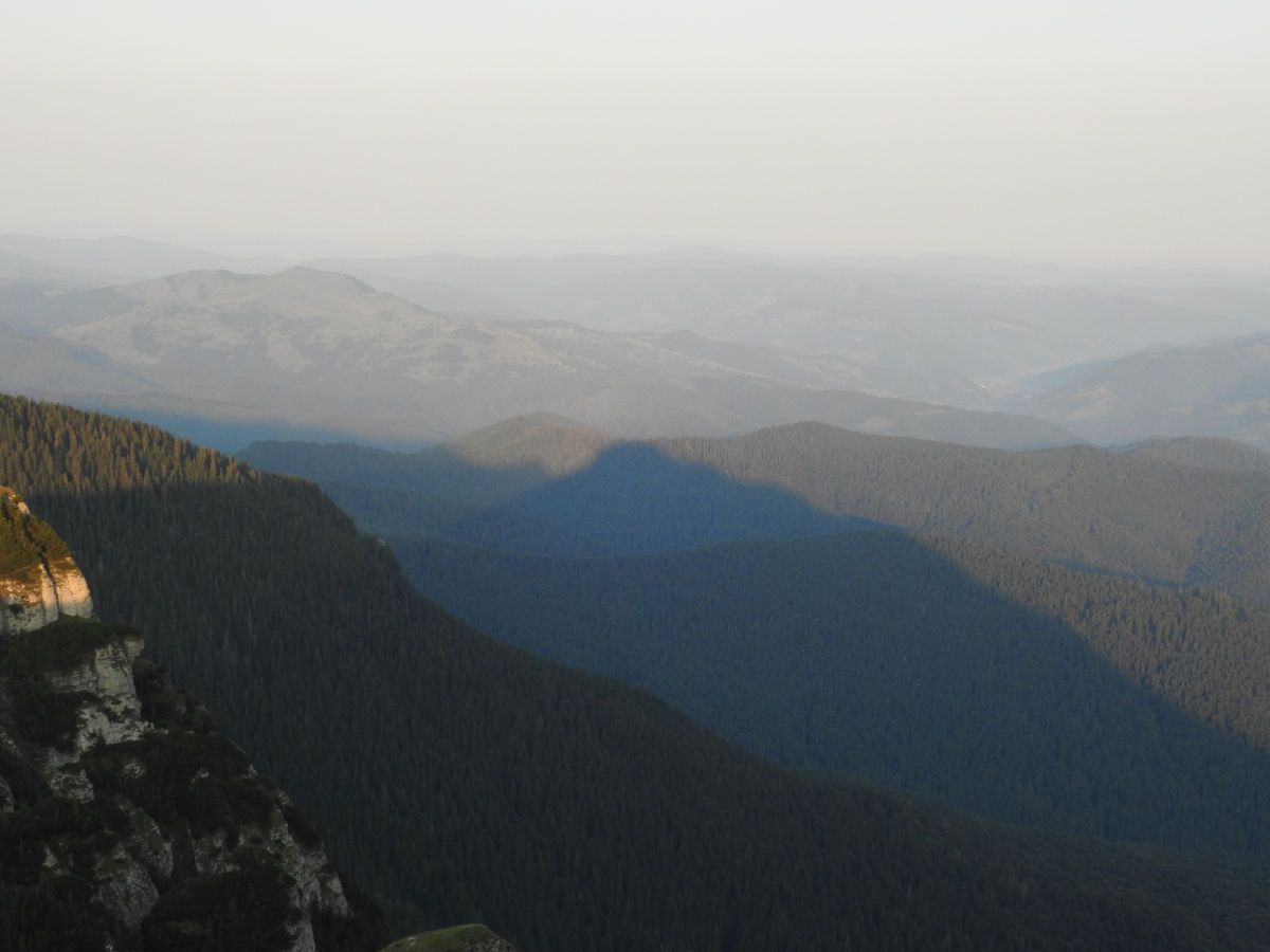
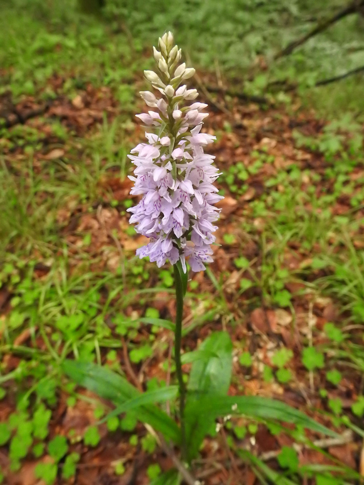
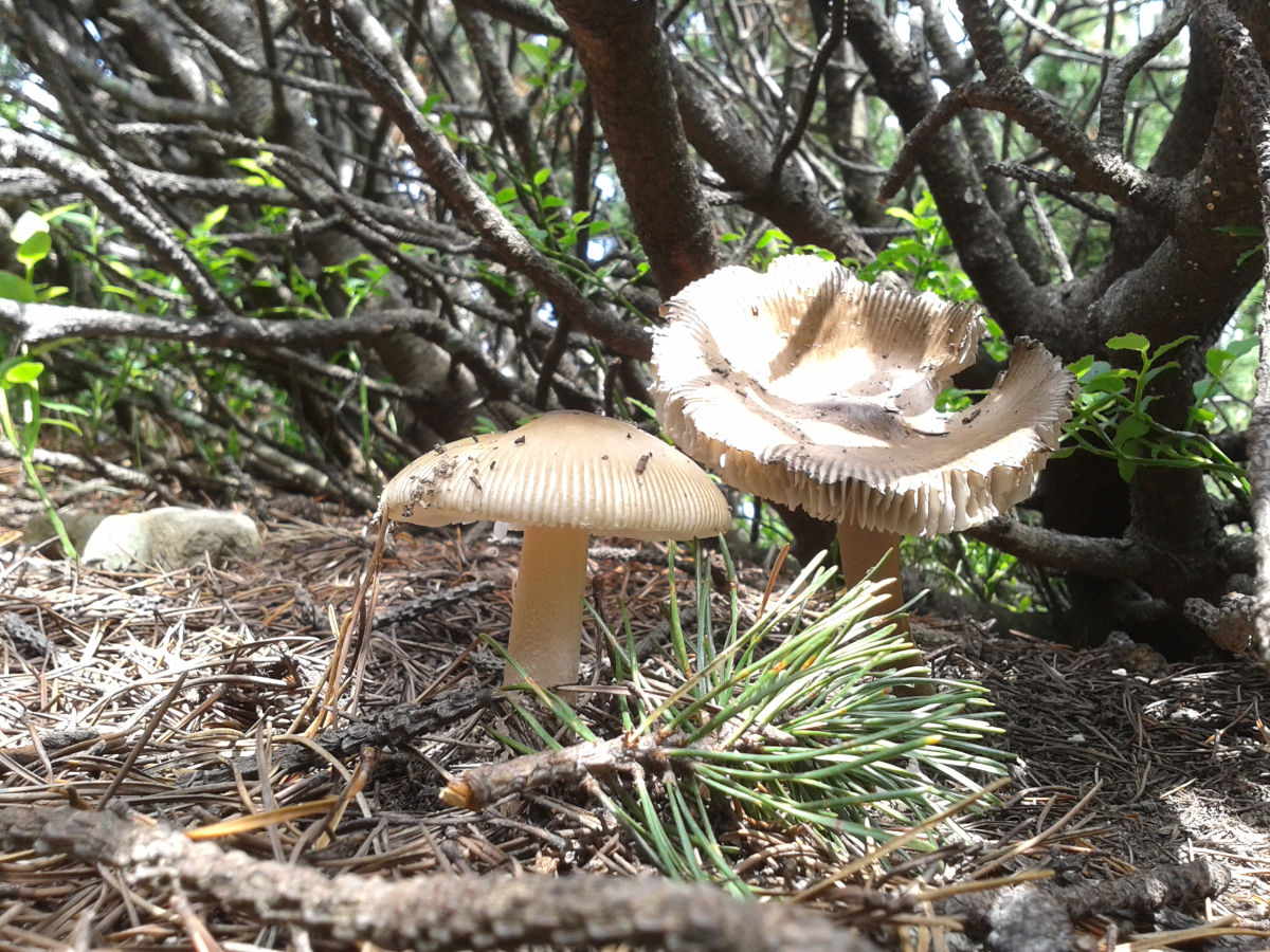
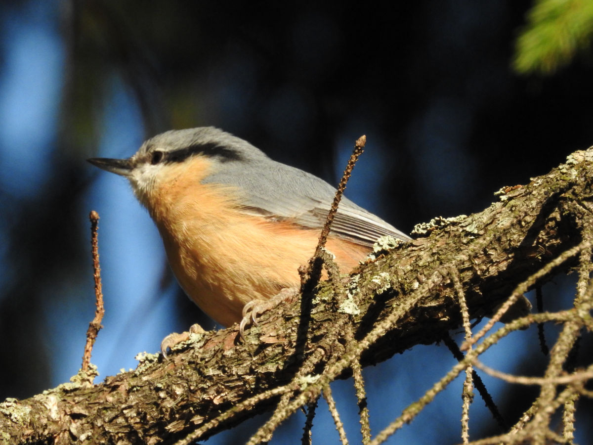
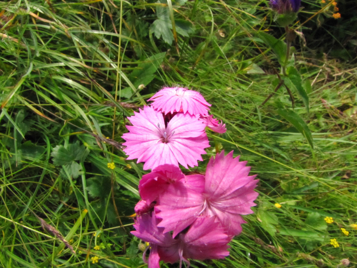
Now that we have warmed up, the road starts to challenge us with its ascension, but also rewards us with incredible imagery – Ocolasul Mare Peak and the crag beneath it (Gardul Ocolasului – Ocolasul Fence) calls to us to photograph its splendour, and Gardul Stanilelor and the image of Cheile Bistra reward each of our beads of sweat shed to get to this point. Many species of plants take our eyes with their colour and beauty, turning the trail in a feast for the eyes. In this manner we have travelled another 4 km and have reached Curmatura “La Scaune” (1247 m altitude), a place where an archaeological site has been uncovered.
An indication pole and board belonging to the Ceahlau National Park Administration and guides us the path that we must follow. We cross the clearing towards the east and climb the bent to Piciorul Stanilelor, from where we follow the path crossing Piciorul cu Strungile, until we reach, after about half an hour, Curmatura Stanilelor (1405 m altitude).
From Curmatura Stanile we follow the marking and reach a new saddle, situated on the superior apex of Piciorul Crestaturii. We continue, crossing “Jgheabul lui Voda”, climb for a while more and reach Curmatura “Piciorul Schiop” (1765 m altitude). Dochia Cabin is not at all far from here.
For those who do not want to walk the entire track, it is good to know that you can travel by car until reaching Curmatura “La Scaune”. Bicazu Ardelean – Telec Road is paved, the portion of road between Telec and the confluence of the two Bistra rivers is a forest causeway which is driveable in the summer even with vehicles lacking in any special features. Between the confluence of the two Bistra rivers and Curmatura “La Scaune”, we are dealing with a very bumpy forest road, so those driving low cars should be much more careful.