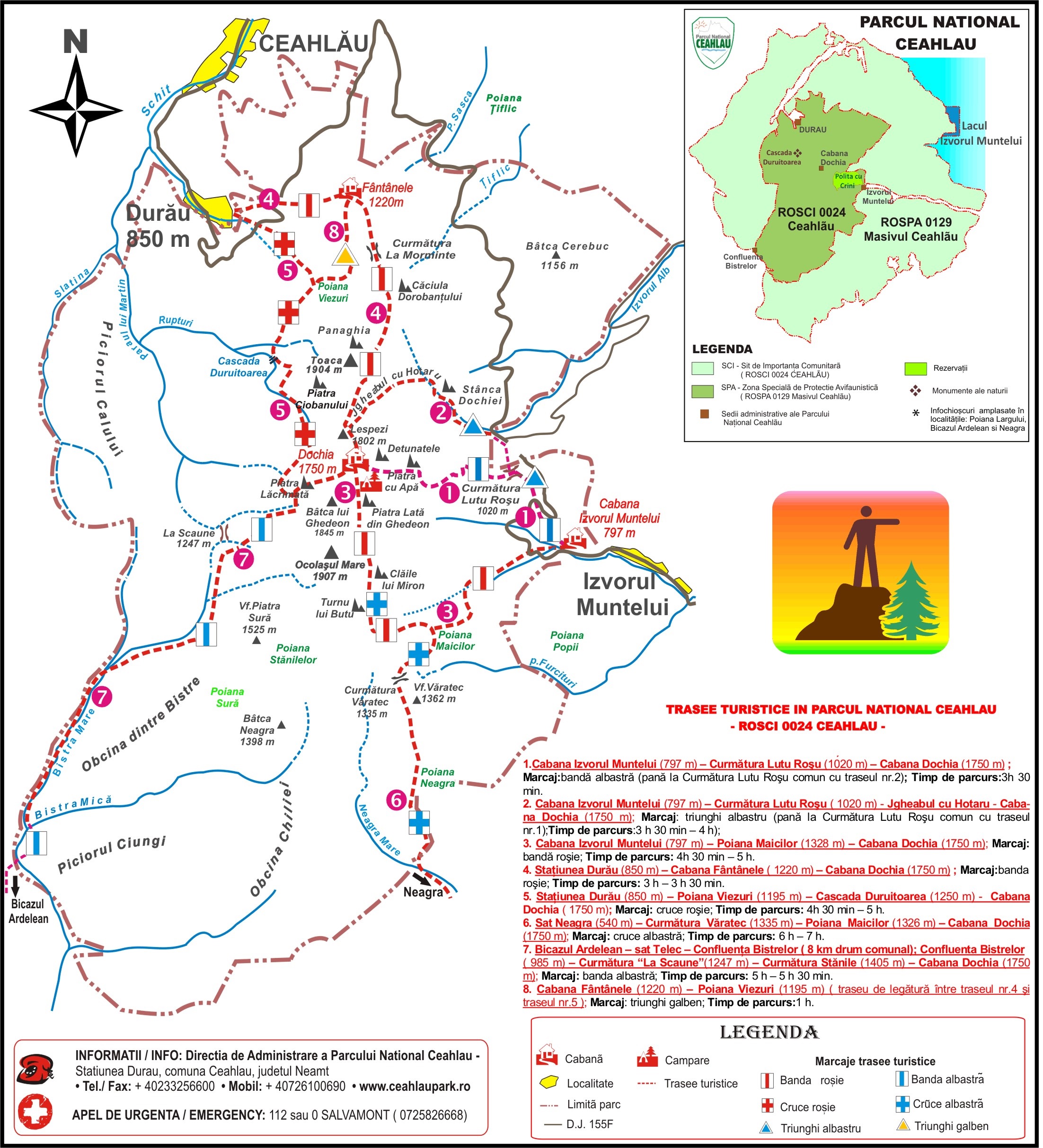
- Marking: blue band;
- Duration: 3 H 30 min – 4 H on the way up; 2 H 30 min on the way down;
- The difference in level is 1070 m. The length of the track is 5.6 km. The difficulty level is medium.
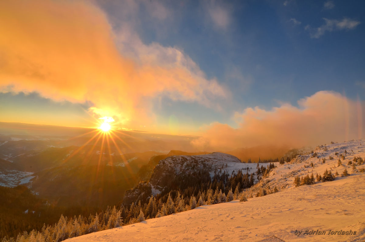
- The track may be followed even during winter time, after previously being informed of the weather.
You can reach Izvorul Muntelui cabin from the intersection with DN 15 (Piatra Neamt – Bicaz – Poiana Lungului – Toplita), after driving 8 km on County Road DJ 155F Izvorul Muntelui – Durau. The road is driveable throughout the year.
The track starts from a small clearing near Izvorul Muntelui cabin and immediately leads to the forest, on the left bank if Izvorul Muntelui river. It crosses DJ 155F, heading towards Durau; in approximately 15-20 minutes you get to Curmatura Lutul Rosu, in the place called La Arsuri, where you can find a table and two metallic benches to take a small rest. Up until here, the track is juxtaposed with the second one, marked by a blue triangle, towards Stanca Dochiei – Jgheabu cu Hotaru – Dochia Cabin. From here, the track takes a 90 degree turn towards the left, and the climb towards Culmea Rachitis starts, first through the beech and coniferous forest, and after in the depth of the spruce forest.
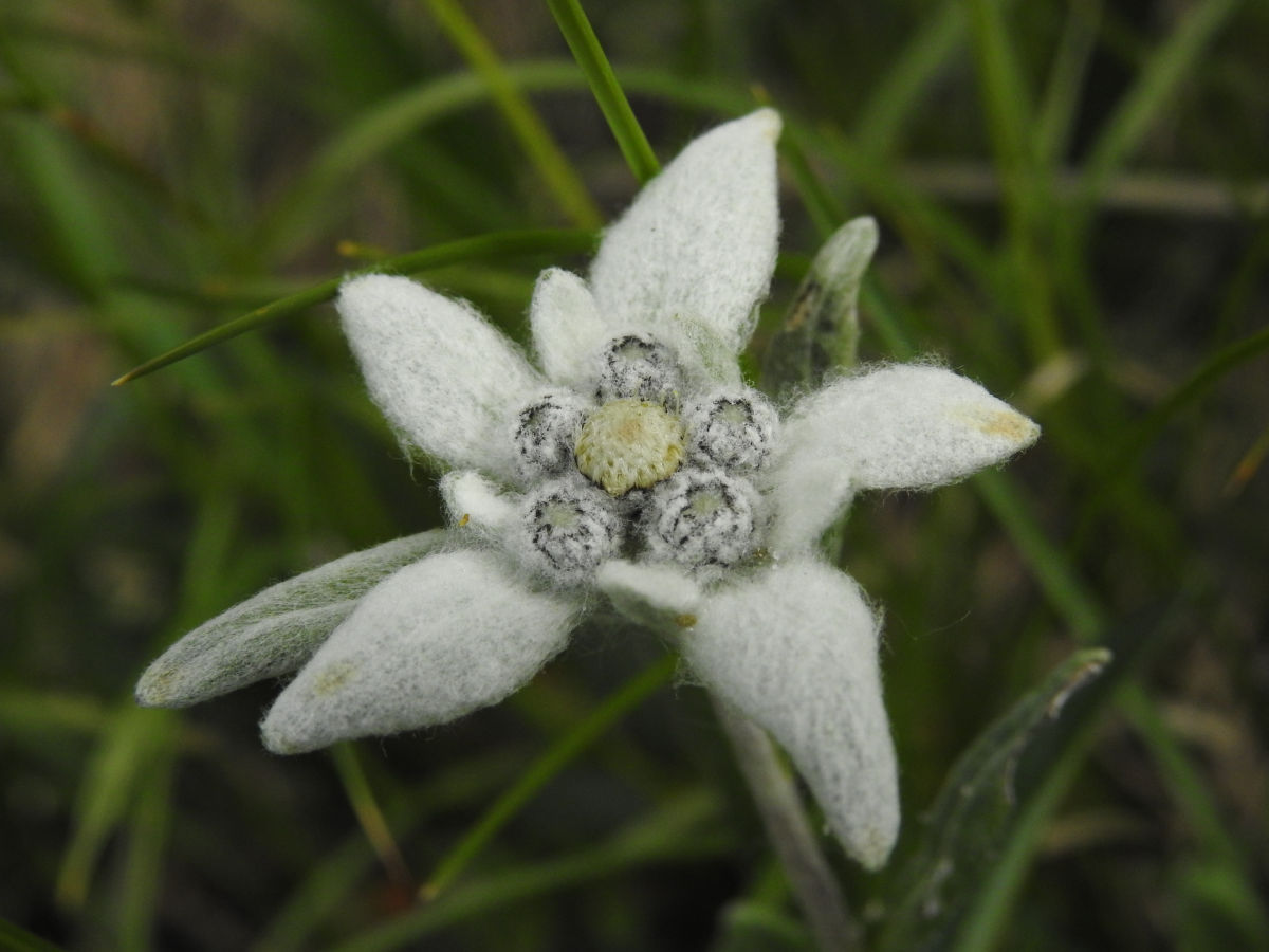
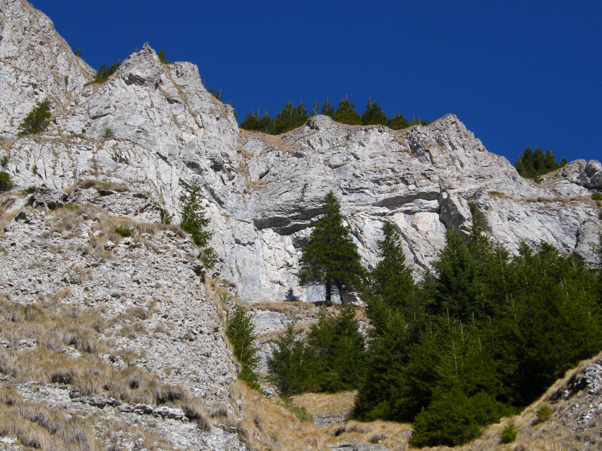
After an abrupt climb, almost at the half-point of the trek, from a cluster of larch towards the right, we can see the majestic pyramid of Toaca Peak (1904 m), flanked by Stanca Panaghia. The climb eases, the left path of the trail following a limited portion of Polita cu Crini scientific reserve, which is situated on the crags of Izvorul Muntelui river. It is named “Polita cu Crini” because of the clusters of larch or “zada” (Larix deciduas), the only conifer that loses its needles during autumn. The female cones that appear during spring, before the leaves, have a beautiful purple-pink colour. They are the reason locals called the larch a “mountain lily”.
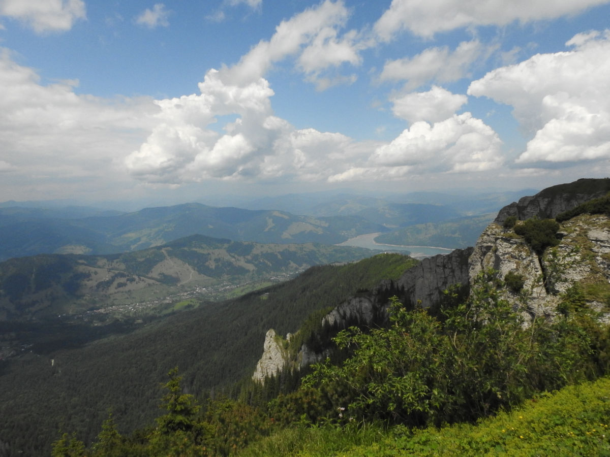
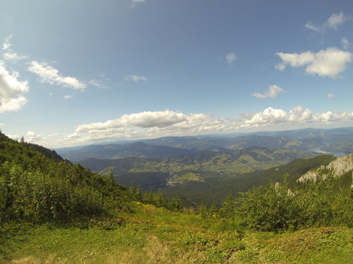
 Being an area of strict protection, tourist access in the “Polita cu Crini” scientific reserve is not allowed without a special permit from the administration of the park. It was declared a scientific reserve due to the hefty genetic fund of the trees, many of them having a circumference of over 50 cm and impressive heights. Approximately 4 km from the starting point, there is a rest stop near a massive calcareous rock named Piatra cu Apa. To reach the stone bearing this name, we deviate from the path to the right for about 20 to 30 metres. Its name comes from a cave with a depth of about 10 m and a height of almost 6m. Through its ceiling, rain water or melted snow leaks if through a crack. From the small clearing situated on the saddle near the rock, you can see the plateau and peak of Ocolasul Mare, Dochia Cabin and the cluster of stones named Detunatele.
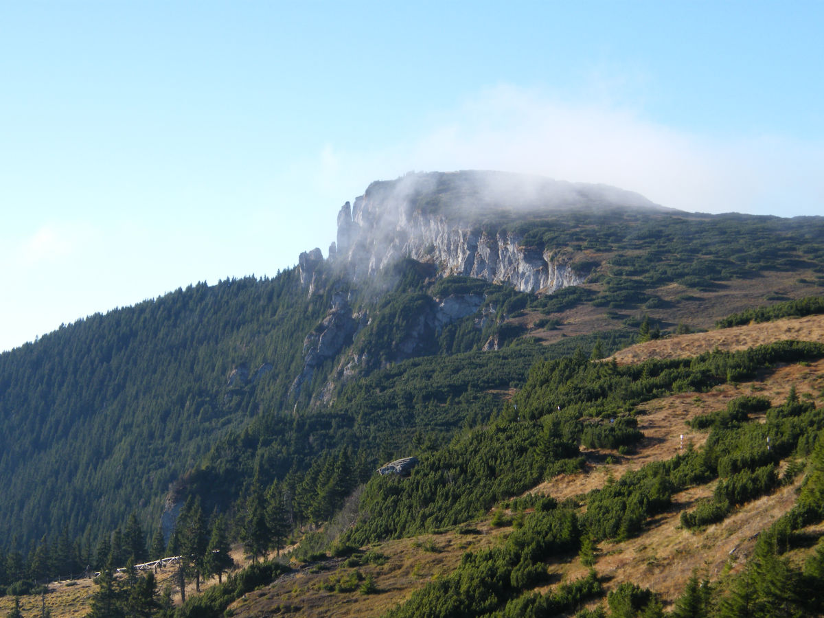
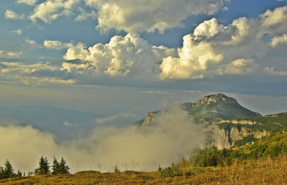
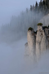
After circa 15 minutes, we arrive at the base of Detunatele, marked by a mass of gigantic conglomerate blocks, fallen from the two stone towers that limit the horizon towards the path. After a series of abrupt coils, you arrive in front of two stone fangs coming out of the conglomerate wall. The two rocks and the massive wall standing in front bear the name “Cetatuia si Calugarii” (The fortress and its Monks). We walk the last coils of the track through the clusters of juniper
that descend to the spruce forest. Once out of the shadow of the forest horizon, the path leading to Dochia cabin (1760 m) opens towards the right, and can be reached within minutes.
The first track was set up as a thematic trail during a programme named Life Natura.